Uncategorized
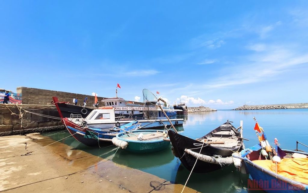
Au port in Con Co Island
Fishing port and fishing logistic service area of Con Co island with a total area of 02 hectares of water surface in Au port; the main dyke system is 150m long, the secondary dyke is 148 m long; office buildings, official residences and other items of the logistics service for fishing….
Con Co fishing port is located at: 17 ° 10 North latitude; 107 ° 20 east longitude. The position of the beginning of the channel: 17 ° 09’18.5 ”North latitude, 107 ° 19 ’51” east longitude (point A on the left of the access channel); 17 ° 09’16.3 ”North latitude, 107 ° 19’51.9” East longitude (point B on the right side of the entrance channel). Starting point depth of channel to port: -2.9m. Width of access channel: 60m. The depth of the water for docking is from -2.36m to -3.4m; length of the wharf 110m. Con Co Island fishing port allows the largest fishing vessel to dock with a tonnage of 200CV, 300 tons; fishing port’s capacity for loading and unloading goods and services: 1,000 tons / year.
Fishing port in Con Co Island is used as a mixed port, both an anchor and shelter for fishing boats, as well as a dock for transporting passengers and tourism (officers and soldiers of the armed forces, people and tourists) traveling between the island and the mainland, both as a dock for cargo ships to gather materials and materials for investment in construction of works on the island.

